Forest information and monitoring Systems


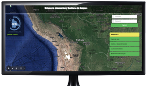

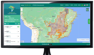
Forest Information and Monitoring System (SIMB for its acronym in Spanish)

The objective is to carry out permanent and systematic monitoring of the status of the forests at the national level, to provide official and updated information to the country, and to become a technical request for monitoring and managing official information.

The System is directed to monitoring the behavior of the forest, deforestation, heat sources, burn scars, forest fires, and afforestation and reforestation of forest, the SIMB platform generates reports, monitoring and taking preventive actions in coordination with several institutions.
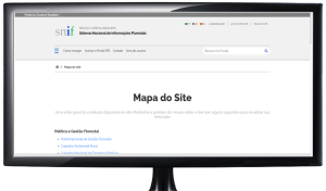
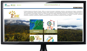
National Forest Information System Brazilian forest service- (SNIF for its acronym in Spanish)
Collect and produce, organize, store, process and spread data, information and knowledge about forests and the forestry sector, in order to support policies, programs and projects that coordinate the use and conservation of forests in Brazil.
Provides information on Brazilian Forests, government forest management in political aspects, institutional, legal, control and inspection, social participation in decision-making, plans, programs, production statistics in different production of string forests, information and technical documents generated by agencies operating in the forest area, permit interaction and data analysis of various forest-related topics.

INPE(for its acronym in Portuguese) – National Space Research Institute
The recorder program of INPE carries out research, technological development and innovation of products, processes and geo-services for monitoring and modeling the occurrence and propagation and classification of active fires in vegetation, the risk, extension and severity, using Remote Sensing techniques, Geoprocessing and Numerical Modeling.
The detection of fire sources in the vegetation with the same images that use for the fire identification method, in all regions, every day and for consecutive years, permit temporal and spatial analyzes of the occurrence of fires that overwise will be impossible given the precariousness, discontinuity and difference of methods in local information sources.
ImazonGeo
Monitor deforestation, deforestation and degradation in the AML through an alert system in nearly real-time.
Monitoring and reporting the threats and progress made against deforestation and environmental degradation in the Amazon is part of a set of approaches necessary for the sustainable development of the region.
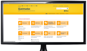
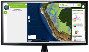
Amazon Forest Monitoring
Carry out satellite image monitoring of deforestation done of the felling in the Legal Amazon region and produces the annual deforestation rates for the region, which are used by the Brazilian government for the establishment of public policies.
Provides information on deforestation, annual rates and increases in deforestation in the Amazon and the Caribbean.
National Forest Information System (SNIF for its acronym in Spanish)
Tool to promote the efficient flow, opportune and quality of forest information, from storage, validation, processing, analysis and generation;contributing to the production of knowledge about trade and demand for goods and services environmental of forest ecosystems.
The SNIF is conformed of the following services; forest exploitation, Forest cover fires, Productive plantations, Protective plantations, and confiscations Mobilization.

SIAC (for its acronym in Spanish) – Environmental Information System of Colombia.
It promotes the acquisition and use of IT in order to contribute to development and research, looking for continuous innovation in environmental management processes.
Strengthen in the entities of the environmental sector the management process: of data and information associated with the state and use of natural resources (SIA) and environmental planning (SIPGA), for decision-making regarding environmental priorities to national and regional level.
SINCHI (for its acronym in Spanish) – Amazonian Institute of Scientific Research
collaborate to stabilize the colonization processes through the study and evaluation of the impact of their intervention on ecosystems and the development of technological alternatives of the same within sustainability criteria.
Investigate the biological and ecological reality of the Amazon, propose alternative models of sustainable development based on the exploitation of their natural resources. These activities will be carried out in coordination with the Research Corporations of the agricultural sector in the search for technologies and production systems and alternative exploitation that advance in the development of sustainable agriculture.
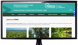
National Forest Monitoring System -SNMB (for its acronym in Spanish)
Generate timely, coherent, and consistent information about the state of forests and their biodiversity through monitoring of Deforestation, Degradation of the Forests, the State of the ecosystems and the ecosystem services provided by the natural heritage and provide information about the forest resource for the sustainable management.
Provides information about the causes and consequences of forest degradation in the state of natural heritage, as a basis for orientation on the proper use of forest land, decision-making for its management and https://oraotca.org/wp-content/uploads/2021/07/nota5-1.jpgistration; additionally, to enter the Payment for results scheme REDD+, within the green fund scheme and other commitments at the national and international levels.
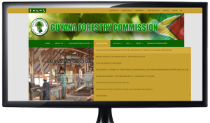
Guyana Forestry Commission and REDD Secretariat
Protect and maintain its forests in an effort to reduce global carbon emissions, and the same time, attract resources to encourage growth and development along of path with low carbon.
evaluation of the drivers of deforestation, Monitoring of Forests and Forest Area Change, Monitoring of forest carbon existence, Classification of the categories of use of the initial and final lands, identification and measurement of activity data, emission factors, total change in carbon existence and total CO2 emissions.
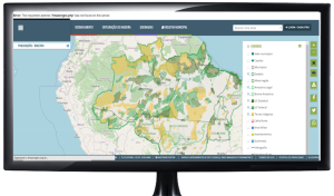
GEOFORESTS
The platform for monitoring changes in the forest cover, through which information is distributed to the different users of the changes that occur in the forests, this information is distributed through reports, maps, viewers, and emails.
Provides information about deforestation, early warning, degradation, use and change of land use.
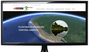
GEOSERVER
It is a Service Platform that has mechanisms for the diffusion and exchange of geospatial information that is made available to professionals, government sectors; so that through the internet they can access relevant information on the territorial and environmental situation of the country in a transparent and update manner.
Provides information about the cover and use of land, favorable conditions for the occurrence of fires, marine erosion, ecosystem conservation, degraded areas for conservation, deforestation, and disaster risks.
National Forest Monitoring System – NFMS(de sus siglas en ingles)
The NFMS is intended to improve the policy formulation related to the forest, implementation and reporting at the local, national, regional, and international levels, through the production of information that can be used by multiple actors on changes in Suriname’s forests.
Satellite Earth Monitoring System, Near real-time monitoring, Sustainable Forest Information System, Involving communities in forest monitoring, National Forest Inventory, Reports.
Foundation for Forest Management and Production Control (SBB)
It is the Execution of the technical arm of the Ministry of Physical Planning, Land and Forest Management (RGB) in Suriname.
The systematic collection of information on the impact of forestry operations on the remaining forest mass cover provides a frame to guide companies to work in a more sustainable way.
The National Integrated Forest Information System-SINIIF (for its acronym in Spanish)
It provides the most up-to-date data on the forests of Venezuela, through the use of data collection tools, processing and analysis tools, processing and analysis developed data by specialists in the field.
Provides information on protocols for collection of socioeconomic information, GHG emission studies, and stocks/flows of forest carbon, forest species of flora and fauna associated, and multi-temporal analysis of plant cover.